 La Route Buissonnière
Is there a sat nav that avoids big cities?
We'd rather take the long way round.
How is that different from an ordinary sat nav? Where Waze or Google Maps look above all for the fastest route, La Route Buissonnière looks for a calmer and lovelier one, going around big cities rather than through them. It is a navigation app and a trip planner, built for the pleasure of driving rather than for shaving off a few minutes.
Choose your city

The Fourvière tunnel and the ring road left behind, through the Beaujolais and the Pierres Dorées.
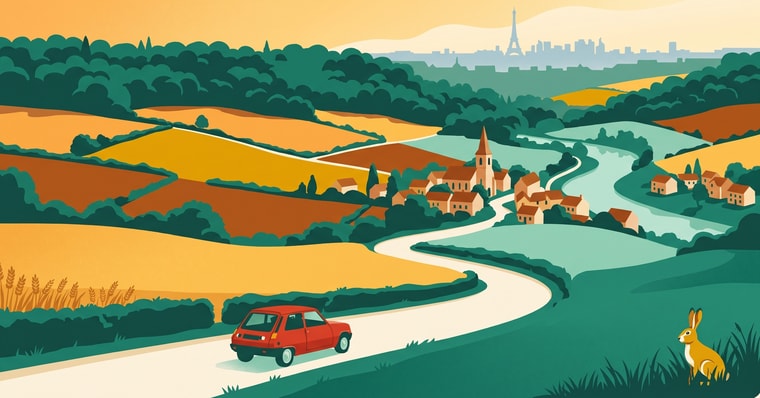
The périphérique and the main Île-de-France roads left behind, through the Vexin français and the Eure valley.
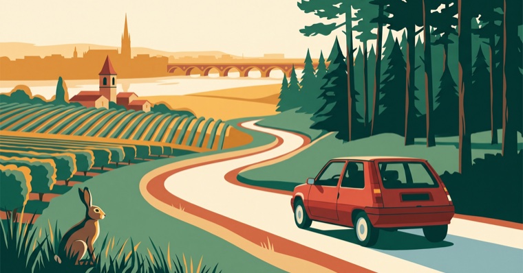
The A630 and the Garonne bridges left behind, through Saint-Émilion and the Landes de Gascogne.
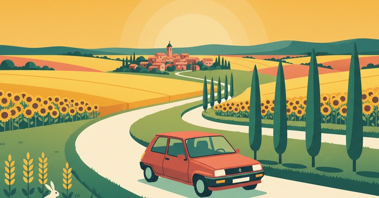
The ring road and the Palays interchange left behind, through the Lauragais and the Montagne Noire.
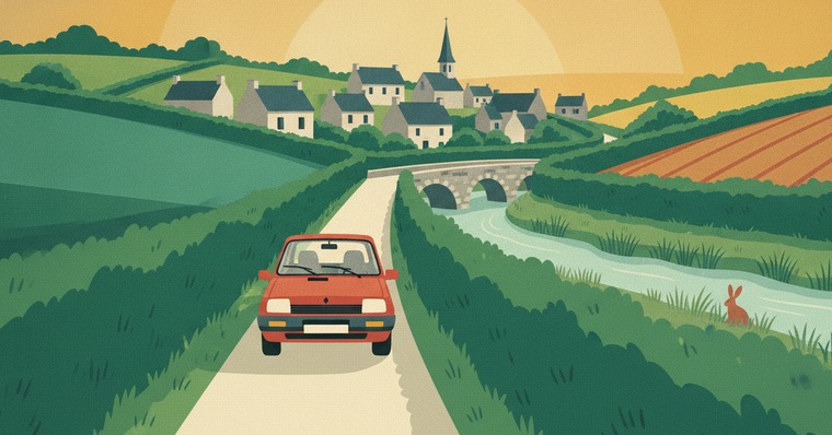
The N136 and the Breton expressways left behind, through the marches of Brittany and the Vilaine.
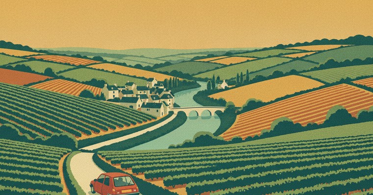
The N844 and the Cheviré bridge left behind, through the Sèvre-et-Maine vineyards and the bocage.
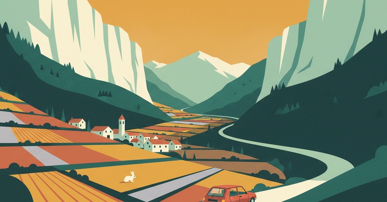
The southern ring road and the Rondeau left behind, through the Royans, the Drôme valley and the Diois.

The ring road, the A1 and the A25 left behind, through the Artois and the monts de Flandre.
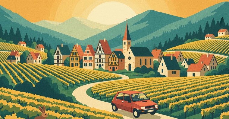
The A35 and the tolled bypass left behind, along the Vosges foothills and the Alsace wine road.
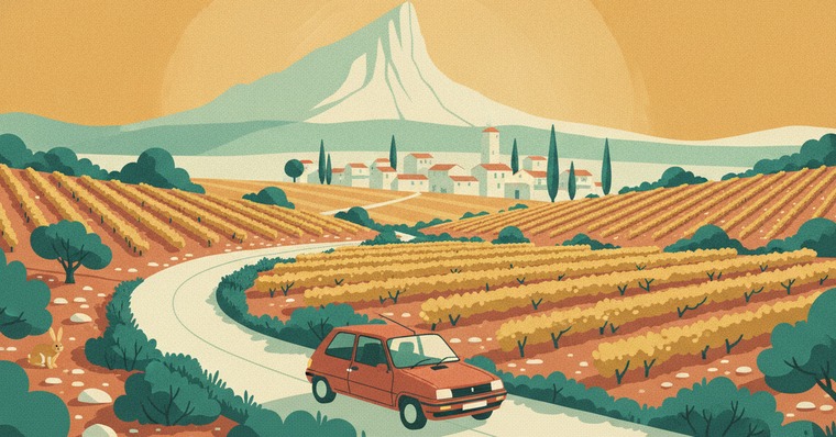
The A9 and the A709 left behind, through the garrigue and the Pic Saint-Loup.
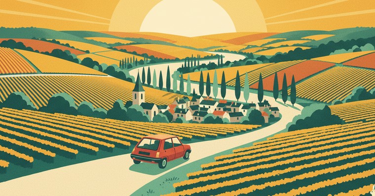
The A4 – A26 crossing left behind, through the Marne valley and the vineyards.
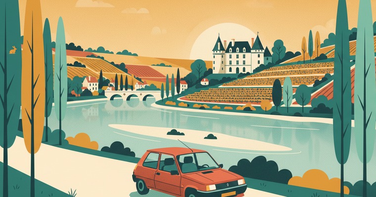
The A10 and the Loire bridges left behind, through the Beauce and the Loir valley.

The Seine bridges and the tunnel left behind, through the pays de Bray and the Roumois.
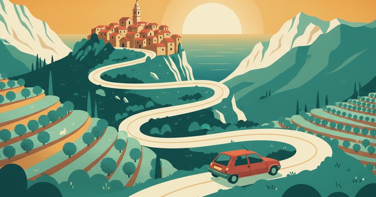
The A8 and the coast left behind, through the backcountry, the Var gorges and Sospel.
How it works
You enter a start and a destination. The app plots a route that goes around built-up areas and leaves motorways and main routes aside, taking you along quieter back roads. You can also name a specific city to avoid: it is then bypassed entirely.
What the app really avoids
- Big cities and their built-up areas
- Ring roads and bypasses (driving around Paris, for instance)
- Motorways, main routes and trunk roads (optional)
- Tolls and ferries (optional)
In all honesty: the app does not use live traffic data. So it is not trying to "beat the jams" or dodge speed cameras — it keeps you away from urban areas and main routes, for a quieter drive.
Who it's for
- Road trips and holiday journeys on small roads
- Anyone who wants to get off the main routes and find the villages
- Slow travel: arriving relaxed, having seen something worth seeing
A few real examples
- Paris → Brittany, keeping clear of the ring road and the main routes
- Lyon → Provence on back roads, through the villages
- Bordeaux → the Pyrenees, avoiding the built-up areas
- A weekend in the green near home, away from the main routes
Where the app works
La Route Buissonnière currently covers France. Other countries will follow.
Frequently asked questions
Yes. La Route Buissonnière plots driving routes that go around big cities and their built-up areas, keeping you on the back roads instead.
Enter your start and destination, and the app plots a route that keeps clear of Paris and its ring road, on secondary roads.
Yes. Options let you avoid motorways, tolls and ferries on top of avoiding the cities themselves.
No. La Route Buissonnière does not use live traffic data: it avoids big cities and main routes to give you a calmer drive, but it is not a jam-busting tool.
It currently covers France. Other countries will be added later.