 La Route Buissonnière
Around Paris
How do you drive around Paris without the ring road?
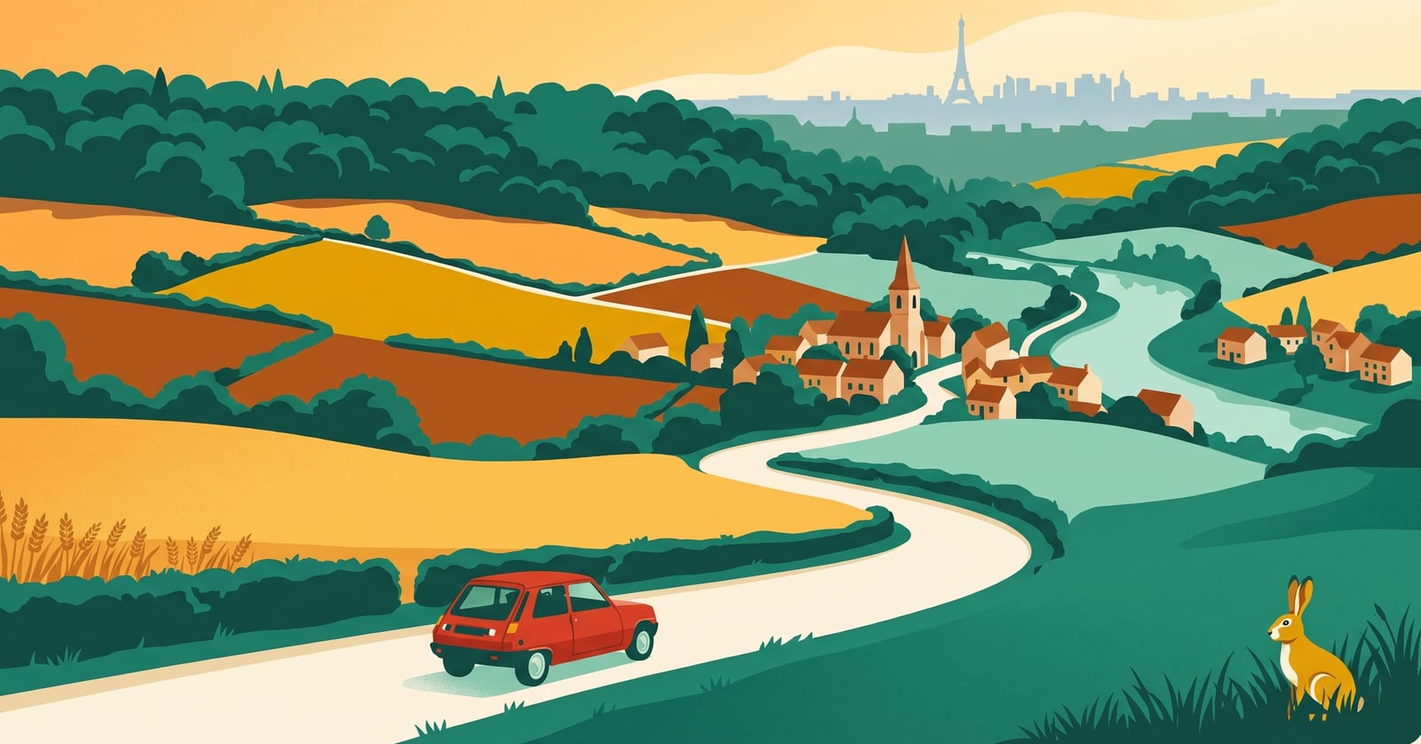
« You don't swap the ring road for another ring road: you step right out of the Paris star, and the Vexin begins. »
Why the Paris ring road is such hard work
The périphérique and the main roads of the Île-de-France are among the most wearing stretches of any drive. Going around them lets you cross the region differently, on quieter roads, rather than plunging into the built-up area.
Paris gathers every motorway in the country into a star: to get from one region to another you find yourself pulled towards the périphérique, the A86 and the radial roads, in the middle of the densest built-up area in France. More often than not, you were only ever passing by.
In practice, La Route Buissonnière keeps you off :
- the périphérique and the radial roads (A1, A6, A13…) that dive into Paris;
- the A86, the Île-de-France's second ring;
- the dense drive across the built-up area and the inner suburbs.
An illustrative diagram, drawn in our own style. La Route Buissonnière does not use live traffic data.
Routing around Paris in three steps
- Open La Route Buissonnière and enter your start and destination (say, Compiègne → Chartres).
- Add Paris as a city to avoid, or simply let the app route around it.
- Follow the route: it takes you along the back roads, well clear of the city.
A real example: Compiègne → Chartres without crossing Paris
- Leaving Compiègne, you come down the Oise valley and then the Thérain — Mouy, Mouchy-le-Châtel — riverbanks rather than dual carriageways.
- You cross the Beauvaisis through Noailles and Auneuil, then enter the Vexin at Chaumont-en-Vexin and Magny-en-Vexin, in the heart of the Vexin français regional park.
- You cross the Seine at Mantes-la-Jolie, below the collegiate church — more than 45 km from Notre-Dame, a long way from the ring road.
- You head due south through the Houdanais and along the western edge of the Rambouillet forest — Gambais, Condé-sur-Vesgre — then follow the Eure valley to Maintenon and its aqueduct, before reaching Chartres.
What this detour costs, measured
- Standard route, motorway allowed: 176.7 km · 1 hr 49 min
- La Route Buissonnière, buissonnière profile (our scenic setting): 215.2 km · 3 hr 15 min
- The extra we own up to: +38.5 km · +1 hr 26 min
- Closest approach to the centre of Paris: 8.5 km on the standard route, 46.6 km on ours
Measured on 4 August 2026 using La Route Buissonnière's own routing engine, with Paris set as a zone to avoid. Every town named above lies on the actual route; the app recalculates for your own start and destination. This drive is not faster, and it is not trying to be: the app does not use live traffic data.
Other drives where going around Paris makes sense : coming down from the Hauts-de-France to Brittany or the Loire valley without crossing the Île-de-France; linking Normandy to Burgundy; reaching the Loire from the north-east.
What you get for going around Paris
An hour and a half more is an hour and a half given back to the landscape. The light changes when you leave the Beauvaisis plateau for the long curves of the Vexin: villages of white stone, flat-tiled roofs, fields running to the horizon without a single exit sign. Lower down, the Seine appears all at once, wide and calm. You drive a little slower, you look a great deal more, you wind the window down.
And at the end, Chartres rewards the detour: its cathedral rising over the Beauce, its old town and the banks of the Eure. The road here is no longer time lost — it is already the journey.
Why doesn't La Route Buissonnière go through the centre?
Frequently asked questions
Enter your start and destination in La Route Buissonnière: it plots a route that keeps clear of Paris and its ring road, on back roads.
Yes, and we own up to it. On our Compiègne → Chartres example, going around Paris adds 38.5 km and 1 hr 26 compared with the motorway route, measured on 4 August 2026. In exchange the route stays 46.6 km from the centre instead of 8.5 km, through the Vexin français and the Eure valley.
Yes, an option lets you avoid tolls and motorways as well as the city itself.
No. The app steers clear of the whole Île-de-France knot: the périphérique, the A86 and the radial roads are bypassed in one move, since the route never comes near the built-up area.
See also
La Route Buissonnière · an independent project, made in France, with no advertising.