 La Route Buissonnière
Around Tours
How do you drive around Tours?
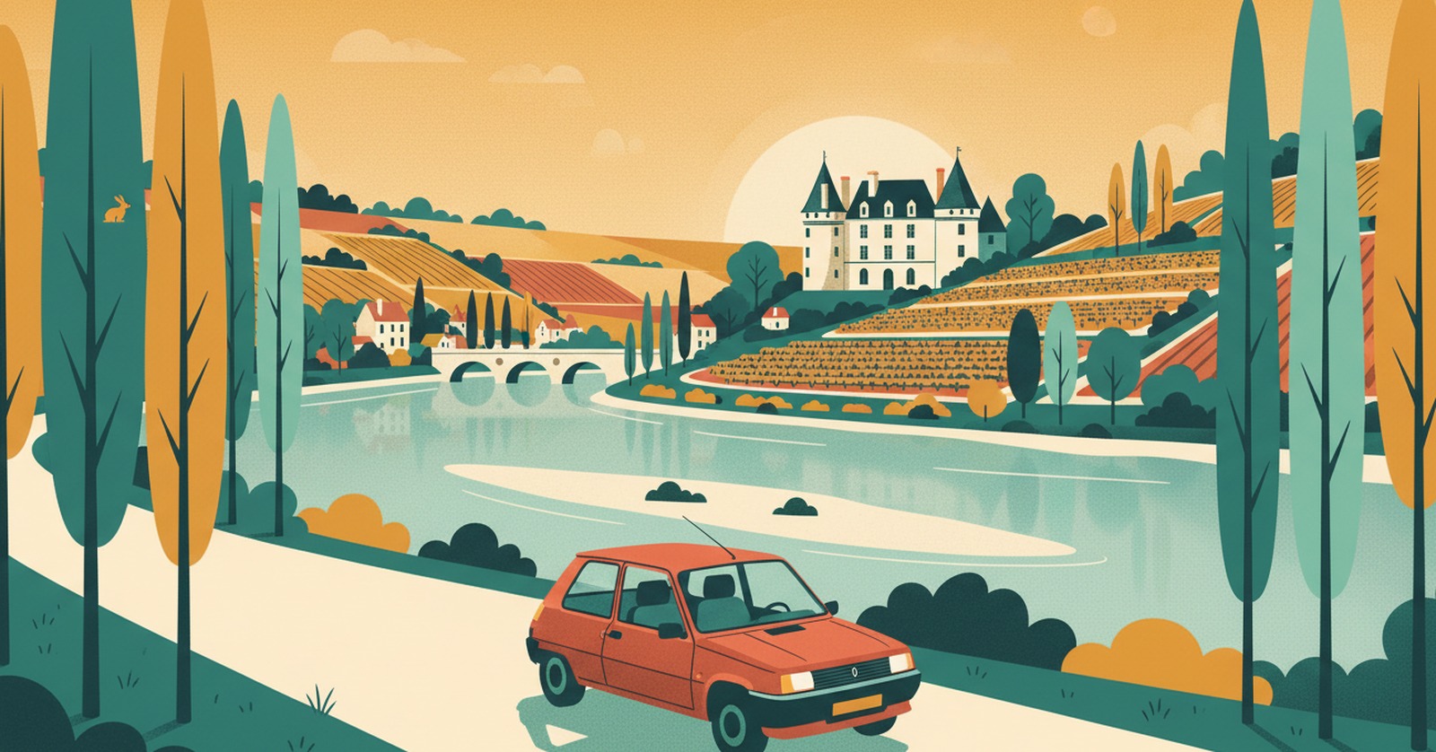
« The motorway runs dead straight where the Loire takes its time. You can choose the river's pace. »
Why driving through Tours is such hard work
Tours is built on a tongue of land between the Loire and the Cher, which meet just downstream. Two rivers to cross within a few kilometres, over a limited number of bridges: the geography creates the bottleneck.
Over the top of it runs the A10, the Paris–Bordeaux axis, doubled by the N10 and the A85 heading west. In holiday season everyone comes down this way at once, when most were only passing by on their way to the Atlantic or the south-west.
In practice, La Route Buissonnière keeps you off :
- the A10 and the N10 alongside the built-up area;
- the ring road and the bridges over the Loire and the Cher;
- the dense drive through the Tours built-up area.
An illustrative diagram, drawn in our own style. La Route Buissonnière does not use live traffic data.
Routing around Tours in three steps
- Open La Route Buissonnière and enter your start and destination (say, Orléans → Saumur).
- Add Tours as a city to avoid, or simply let the app route around it.
- Follow the route: it takes you along the back roads, well clear of the city.
A real example: Orléans → Saumur without the A10
- Leaving Orléans, you cross the Beauce through Ingré and Épieds-en-Beauce: very large fields, and a horizon that stops nowhere.
- You drop into the Vendômois at Binas and Fréteval, where the Loir — a different river from the Loire — has cut a gentle valley.
- You reach northern Touraine through Villechauve and Le Boulay, then Neuillé-Pont-Pierre: by now you are well north of the city.
- You finish through the Baugeois at Souvigné and Vernantes, before meeting the Loire again at Saumur and its tuffeau château.
What this detour costs, measured
- Standard route, motorway allowed: 198.5 km · 1 hr 47 min
- La Route Buissonnière, buissonnière profile (our scenic setting): 199.7 km · 2 hr 41 min
- The extra we own up to: +1.2 km · +54 min
- Closest approach to the centre of Tours: 1.6 km on the standard route, 19.3 km on ours
Measured on 4 August 2026 using La Route Buissonnière's own routing engine, with Tours set as a zone to avoid. Every town named above lies on the actual route; the app recalculates for your own start and destination. This drive is not faster, and it is not trying to be: the app does not use live traffic data.
Other drives where going around Tours makes sense : coming down from the Paris region to Anjou without the A10; linking the Beauce to the Saumurois through the Vendômois; reaching the Atlantic from the Loiret on small roads.
What you get for going around Tours
The Beauce disorients you by its sheer scale: nothing catches the eye for kilometres, and it is oddly restful. Then the Loir valley opens all at once, narrow and green, with its mills, its troglodyte houses cut into the tuffeau and its stone bridges. You drive a little slower, you look a great deal more, you wind the window down.
After Neuillé the country turns wooded and more secretive, until the Loire reappears at Saumur, wide and pale, with its white château set above the roofs. The road here is no longer time lost — it is already the journey.
Why doesn't La Route Buissonnière go through the centre?
Frequently asked questions
Enter your start and destination in La Route Buissonnière and add Tours as a city to avoid: the route then passes to the north, through the Vendômois and northern Touraine, without using the A10 or the ring road.
On our Orléans → Saumur example the detour costs only 1.2 km more than the motorway, but 54 minutes in extra time, measured on 4 August 2026: the roads of the Beauce and the Vendômois are slower going. That is the result for this corridor, not a general rule.
This verified route passes to the north, through the Loir valley, and meets the Loire again at Saumur. To follow the châteaux between Orléans and Tours you would need a different route: the app recalculates for your own start and destination.
See also
La Route Buissonnière · an independent project, made in France, with no advertising.