 La Route Buissonnière
Around Reims
How do you drive around Reims?
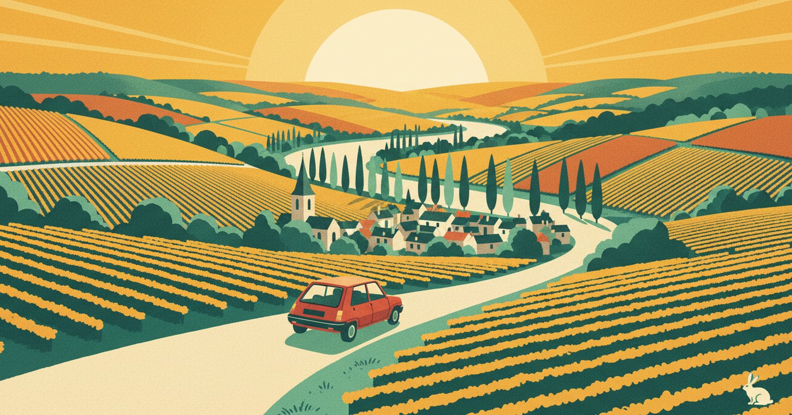
« A motorway crossroads laid down on the most famous vineyard in the world. You only have to take the road next to it. »
Why driving through Reims is such hard work
Reims is a junction before it is a city you pass through. The A4 linking Paris to Strasbourg crosses the A26 coming up from Troyes towards Calais, and the A34 heads off into the Ardennes. Three European axes meet in one place.
Around it, the Montagne de Reims closes the horizon to the south: not a mountain but a steep wooded plateau, which forces traffic to go round it east or west. The result is a funnel, crossed by people who were mostly only passing by.
In practice, La Route Buissonnière keeps you off :
- the crossing of the A4 and the A26, and the A34 towards the Ardennes;
- the ring road and the approaches to the Reims built-up area;
- the dense drive through the city itself.
An illustrative diagram, drawn in our own style. La Route Buissonnière does not use live traffic data.
Routing around Reims in three steps
- Open La Route Buissonnière and enter your start and destination (say, Soissons → Châlons-en-Champagne).
- Add Reims as a city to avoid, or simply let the app route around it.
- Follow the route: it takes you along the back roads, well clear of the city.
A real example: Soissons → Châlons-en-Champagne without the junction
- Leaving Soissons, you head south-east through the Tardenois, a country of woods and wheat that separates the Aisne from the Marne.
- You reach the vineyards at Champvoisy, on the slopes above the Marne valley, well west of the built-up area.
- You follow the river as far as Mardeuil, on the edge of Épernay, in the heart of the classified slopes — the Montagne de Reims stays to the north and you never cross it.
- You finish across the Côte des Blancs through Plivot, then the chalk plain and Matougues before entering Châlons-en-Champagne.
What this detour costs, measured
- Standard route, motorway allowed: 108.4 km · 1 hr 14 min
- La Route Buissonnière, buissonnière profile (our scenic setting): 107.2 km · 1 hr 35 min
- The extra we own up to: −1.2 km · +21 min
- Closest approach to the centre of Reims: 4.2 km on the standard route, 24.1 km on ours
- On this particular drive the buissonnière route is very slightly shorter than the motorway route. That is a measured result for this corridor, not a general property of the app.
Measured on 4 August 2026 using La Route Buissonnière's own routing engine, with Reims set as a zone to avoid. Every town named above lies on the actual route; the app recalculates for your own start and destination. This drive is not faster, and it is not trying to be: the app does not use live traffic data.
Other drives where going around Reims makes sense : linking Picardy to Champagne without the motorway junction; coming down from the Ardennes to the Aube through the vineyards; reaching Épernay from the Aisne along the valley.
What you get for going around Reims
You trade an interchange for a listed landscape. The Marne slopes drop in tight rows to the river, the chalk shows through and makes the light whiter. The villages are small and well-kept, with discreet gateways behind which sleep kilometres of cellars. You drive a little slower, you look a great deal more, you wind the window down.
Then the Côte des Blancs opens out, wider and almost bare, and the chalk plain takes over as far as Châlons. It is a country people usually cross without seeing it. The road here is no longer time lost — it is already the journey.
Why doesn't La Route Buissonnière go through the centre?
Frequently asked questions
Enter your start and destination in La Route Buissonnière and add Reims as a city to avoid: the route then swings west, through the Tardenois and the Marne valley, without using the A4 or the A26.
On our Soissons → Châlons-en-Champagne example it is very slightly shorter, by 1.2 km, but takes 21 minutes longer, measured on 4 August 2026. That result holds for this corridor, not for every drive.
No. On our verified route the Montagne de Reims stays to the north: you skirt it along the Marne valley rather than climbing over it, which avoids both the massif and the city.
See also
La Route Buissonnière · an independent project, made in France, with no advertising.