 La Route Buissonnière
Around Grenoble
How do you drive around Grenoble?
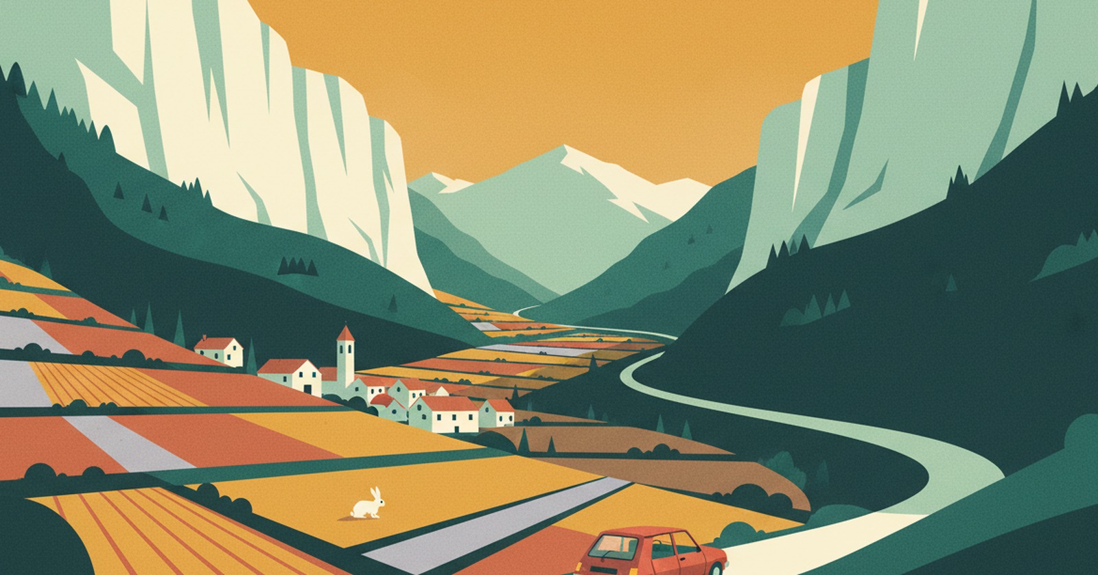
« Here, going around doesn't mean taking the next ring road. It means choosing a different valley. »
Why driving through Grenoble is such hard work
Grenoble sits at the bottom of a bowl, where the Drac meets the Isère, ringed by three massifs: the Vercors, the Chartreuse and Belledonne. The city did not choose its shape — the mountains imposed it.
The consequence is that there is only one way through: the southern ring road, continued by the A480 along the Drac, with the Rondeau interchange at its hinge. The A41 coming down from Chambéry, the A48 from Lyon and the A51 heading for Sisteron all meet there. There is no alternative loop: in a bowl, you cannot go around the edge.
In practice, La Route Buissonnière keeps you off :
- the southern ring road and the A480 along the Drac, with the Rondeau;
- the A41, A48 and A51 motorways as they close in on the bowl;
- the drive through the Grenoble built-up area.
An illustrative diagram, drawn in our own style. La Route Buissonnière does not use live traffic data.
Routing around Grenoble in three steps
- Open La Route Buissonnière and enter your start and destination (say, Chambéry → Gap).
- Add Grenoble as a city to avoid, or simply let the app route around it.
- Follow the route: it takes you along the back roads, well clear of the city.
A real example: Chambéry → Gap without the southern ring road
- Leaving Chambéry, you cross the Chartreuse at Saint-Thibaud-de-Couz and come down to Moirans and Tullins, at the mouth of the bowl — without ever descending into it.
- You follow the left bank of the Isère through L'Albenc and Chatte, at the foot of the Vercors cliffs, in the Royans, then reach Romans-sur-Isère and Bourg-de-Péage.
- You drop into the Drôme valley at Chabeuil and Crest, under its keep, then Saillans — the river narrows, oaks cover the slopes.
- You climb the Diois to Die and Luc-en-Diois, cross the Col de Cabre — the high point of the drive at 1,162 m measured, in the commune of Beaurières — then follow the Buëch down through Aspres-sur-Buëch and Veynes to Gap.
What this detour costs, measured
- Standard route, motorway allowed: 162.3 km · 2 hr 5 min
- La Route Buissonnière, buissonnière profile (our scenic setting): 275.3 km · 4 hr 5 min
- The extra we own up to: +113.0 km · +2 hr
- Closest approach to the centre of Grenoble: 3.5 km on the standard route, 19.6 km on ours
- Highest point measured: 1,162 m at the Col de Cabre. Total ascent: 1,982 m. In winter this crossing calls for a properly equipped vehicle — check road conditions before you set off.
Measured on 4 August 2026 using La Route Buissonnière's own routing engine, with Grenoble set as a zone to avoid. Every town named above lies on the actual route; the app recalculates for your own start and destination. This drive is not faster, and it is not trying to be: the app does not use live traffic data.
Other drives where going around Grenoble makes sense : coming down from Savoie to the Hautes-Alpes through the Drôme; linking the Royans to the Buëch without the bowl; reaching Provence from the Grésivaudan through the western valleys.
What you get for going around Grenoble
Two hours more is the price of a complete change of scene. First you run along the Vercors cliffs, which rise in one piece above the road and hold the shade until midday. Then the valley opens, the light turns dry, and you realise you have crossed into the south without noticing. You drive a little slower, you look a great deal more, you wind the window down.
The Diois has to be earned: a clear river, slopes of lavender and vines, villages perched above them. At the pass the air changes a second time — lighter, more mineral — and the whole Buëch opens out at once. The road here is no longer time lost — it is already the journey.
Why doesn't La Route Buissonnière go through the centre?
Frequently asked questions
Enter your start and destination in La Route Buissonnière and add Grenoble as a city to avoid: the route then leaves the Isère valley before the bowl and reaches the south through another valley, without using the A480 or the Rondeau.
Because the geography leaves no choice. Grenoble lies at the bottom of a bowl ringed by three massifs: there is no parallel road a few kilometres away. Going around, here, means changing valley. On our Chambéry → Gap example that comes to 113 km and 2 hours more than the motorway, measured on 4 August 2026.
The high point of our verified route is the Col de Cabre, at 1,162 m measured. It is a mid-altitude crossing used all year, but we cannot guarantee it is open on any given day: in winter, equip your vehicle properly and check road conditions before setting off.
See also
La Route Buissonnière · an independent project, made in France, with no advertising.