 La Route Buissonnière
Around Toulouse
How do you drive around Toulouse?
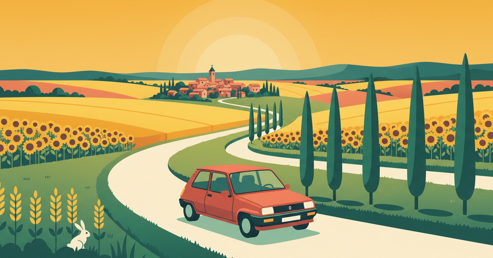
« Here, stepping out of the funnel costs almost nothing: a few kilometres, and the Lauragais replaces the ring road. »
Why driving through Toulouse is such hard work
Toulouse has one belt, and it does everything. The A620 ring road, doubled to the north by the A621, carries both the city's own traffic and the whole of the south-west's through-traffic. There is no second loop to fall back on.
Everything converges on a single point: the Palays interchange in the south-east, where the A61 heading for the Mediterranean meets the A62 going up to Bordeaux, the A64 setting off for the Pyrenees and the A68 climbing towards Albi. The city grew on the Naurouze sill, the natural gap between Atlantic and Mediterranean: everyone has come through here for a very long time.
In practice, La Route Buissonnière keeps you off :
- the A620 ring road and the A621 that circle the city;
- the Palays interchange, where the A61, A62, A64 and A68 all meet;
- the dense drive through the Toulouse built-up area.
An illustrative diagram, drawn in our own style. La Route Buissonnière does not use live traffic data.
Routing around Toulouse in three steps
- Open La Route Buissonnière and enter your start and destination (say, Montauban → Carcassonne).
- Add Toulouse as a city to avoid, or simply let the app route around it.
- Follow the route: it takes you along the back roads, well clear of the city.
A real example: Montauban → Carcassonne without the ring road
- Leaving Montauban, you head east across the Tescou hills — Verlhac-Tescou, Salvagnac — rather than dropping south towards the belt.
- You meet the Tarn at Rabastens and Coufouleux, then cross Giroussens and Lavaur, whose brick cathedral stands over the river Agout.
- You enter the Lauragais through Saint-Julia and Montégut-Lauragais, out among the big arable fields, as far as Revel and its medieval market hall.
- You cross the Montagne Noire at Les Cammazes — the high point of the drive at 646 m — then come down to Montolieu, the village of booksellers, and on through Pezens to Carcassonne.
What this detour costs, measured
- Standard route, motorway allowed: 144.5 km · 1 hr 20 min
- La Route Buissonnière, buissonnière profile (our scenic setting): 148.9 km · 2 hr 22 min
- The extra we own up to: +4.4 km · +1 hr 2 min
- Closest approach to the centre of Toulouse: 3.3 km on the standard route, 31.6 km on ours
- Highest point measured: 646 m, crossing the Montagne Noire.
Measured on 4 August 2026 using La Route Buissonnière's own routing engine, with Toulouse set as a zone to avoid. Every town named above lies on the actual route; the app recalculates for your own start and destination. This drive is not faster, and it is not trying to be: the app does not use live traffic data.
Other drives where going around Toulouse makes sense : linking the Quercy to the Lauragais without the belt; heading down to the Mediterranean over the hills rather than along the A61; reaching the Tarn from the Tarn-et-Garonne on small roads.
What you get for going around Toulouse
It is the cheapest detour in the region: four kilometres more, and the scenery has nothing in common with the motorway. The brick shifts from deep red to pale pink depending on the hour, cypresses punctuate the ridges, and the fields stretch away in long curves. You drive a little slower, you look a great deal more, you wind the window down.
Then the road climbs, the air cools, oaks replace the wheat: the Montagne Noire arrives, with its forests and the reservoirs that have fed the Canal du Midi since the seventeenth century. You come down into a village given over entirely to booksellers. The road here is no longer time lost — it is already the journey.
Why doesn't La Route Buissonnière go through the centre?
Frequently asked questions
Enter your start and destination in La Route Buissonnière and add Toulouse as a city to avoid: the route then goes around the city over the hills, without using the A620 or the Palays interchange.
On our Montauban → Carcassonne example the detour costs only 4.4 km more than the motorway route, but 1 hr 02 in extra time, measured on 4 August 2026: the small roads of the Lauragais are slower going. That result is for this particular drive, not a general rule.
It crosses the Montagne Noire at Les Cammazes, at 646 m measured on the route. It is an ordinary mid-altitude road with nothing difficult about it, but in winter you'll want a properly equipped car.
See also
La Route Buissonnière · an independent project, made in France, with no advertising.