 La Route Buissonnière
Around Rennes
How do you drive around Rennes?
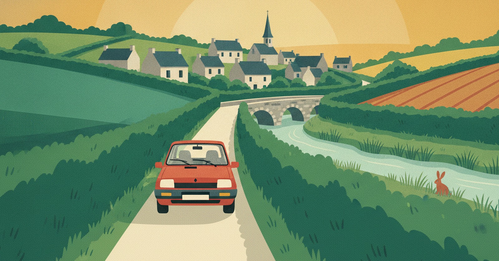
« The whole of Brittany hangs off a single loop. Drop one notch south and you forget it exists. »
Why driving through Rennes is such hard work
The whole of Brittany is arranged as a star around a single point. The N136 ring road circles Rennes, and onto it feed the N157 from Le Mans, the N12 heading for Saint-Brieuc and Brest, the N24 going down to Lorient and the N137 linking Saint-Malo to Nantes.
There is a Breton particularity here: these expressways are free. So there is no toll to spread the load, and no paid alternative running alongside. Everyone takes the same loop, at the same place, at the same hours — when most were only passing by on their way to the coast.
In practice, La Route Buissonnière keeps you off :
- the N136 ring road that circles the city;
- the N157, N12, N24 and N137 expressways as they close in;
- the drive through the Rennes built-up area.
An illustrative diagram, drawn in our own style. La Route Buissonnière does not use live traffic data.
Routing around Rennes in three steps
- Open La Route Buissonnière and enter your start and destination (say, Laval → Vannes).
- Add Rennes as a city to avoid, or simply let the app route around it.
- Follow the route: it takes you along the back roads, well clear of the city.
A real example: Laval → Vannes without the ring road
- Leaving Laval, you head south-west through Cossé-le-Vivien and Craon, into a dense bocage of hedgerows and small fields.
- You pass through the old marches of Brittany — Renazé, Ombrée d'Anjou — then Châteaubriant and its fortress, once a frontier post between Brittany and Anjou.
- You reach the Vilaine by way of Derval, Guémené-Penfao and Avessac, as far as Redon, where the Vilaine meets the Oust, nearly fifty kilometres from Rennes.
- You finish through the country around Questembert and Elven, with its Morbihan tower, then Saint-Nolff before arriving in Vannes and its gulf.
What this detour costs, measured
- Standard route, motorway allowed: 191.2 km · 1 hr 55 min
- La Route Buissonnière, buissonnière profile (our scenic setting): 186.8 km · 2 hr 44 min
- The extra we own up to: −4.4 km · +49 min
- Closest approach to the centre of Rennes: 3.0 km on the standard route, 48.7 km on ours
- On this particular drive the buissonnière route is actually shorter than the expressway route. That is a measured result for this corridor, not a general property of the app.
Measured on 4 August 2026 using La Route Buissonnière's own routing engine, with Rennes set as a zone to avoid. Every town named above lies on the actual route; the app recalculates for your own start and destination. This drive is not faster, and it is not trying to be: the app does not use live traffic data.
Other drives where going around Rennes makes sense : coming down from Normandy to the Morbihan without the Rennes loop; linking the Maine to the gulf through the marches of Brittany; reaching the Loire-Atlantique from the Mayenne through the bocage.
What you get for going around Rennes
You enter a country of edges. The hedges stand tall, the road sinks between them, and the light only reaches you from above, cut into pieces. It is a landscape that doesn't give itself away at speed: you have to cross it slowly to understand why each field has the shape it does. You drive a little slower, you look a great deal more, you wind the window down.
Then water takes over. The Vilaine widens, the locks come one after another, and Redon appears where the two rivers and the canal meet. The granite turns paler, the slate bluer, and the air starts to smell of the tide long before the gulf. The road here is no longer time lost — it is already the journey.
Why doesn't La Route Buissonnière go through the centre?
Frequently asked questions
Enter your start and destination in La Route Buissonnière and add Rennes as a city to avoid: the route then drops south, towards Châteaubriant and Redon, without using the N136 or the expressways.
On our Laval → Vannes example it is actually 4.4 km shorter than the expressway route, but takes 49 minutes longer, measured on 4 August 2026: Breton back roads are slower going. That result holds for this corridor, not for every drive.
Yes. Inland Brittany is a dense web of old roads linking one market town to the next. On our verified route you reach the Gulf of Morbihan through Questembert and Elven, without using the N24 or the N165.
See also
La Route Buissonnière · an independent project, made in France, with no advertising.